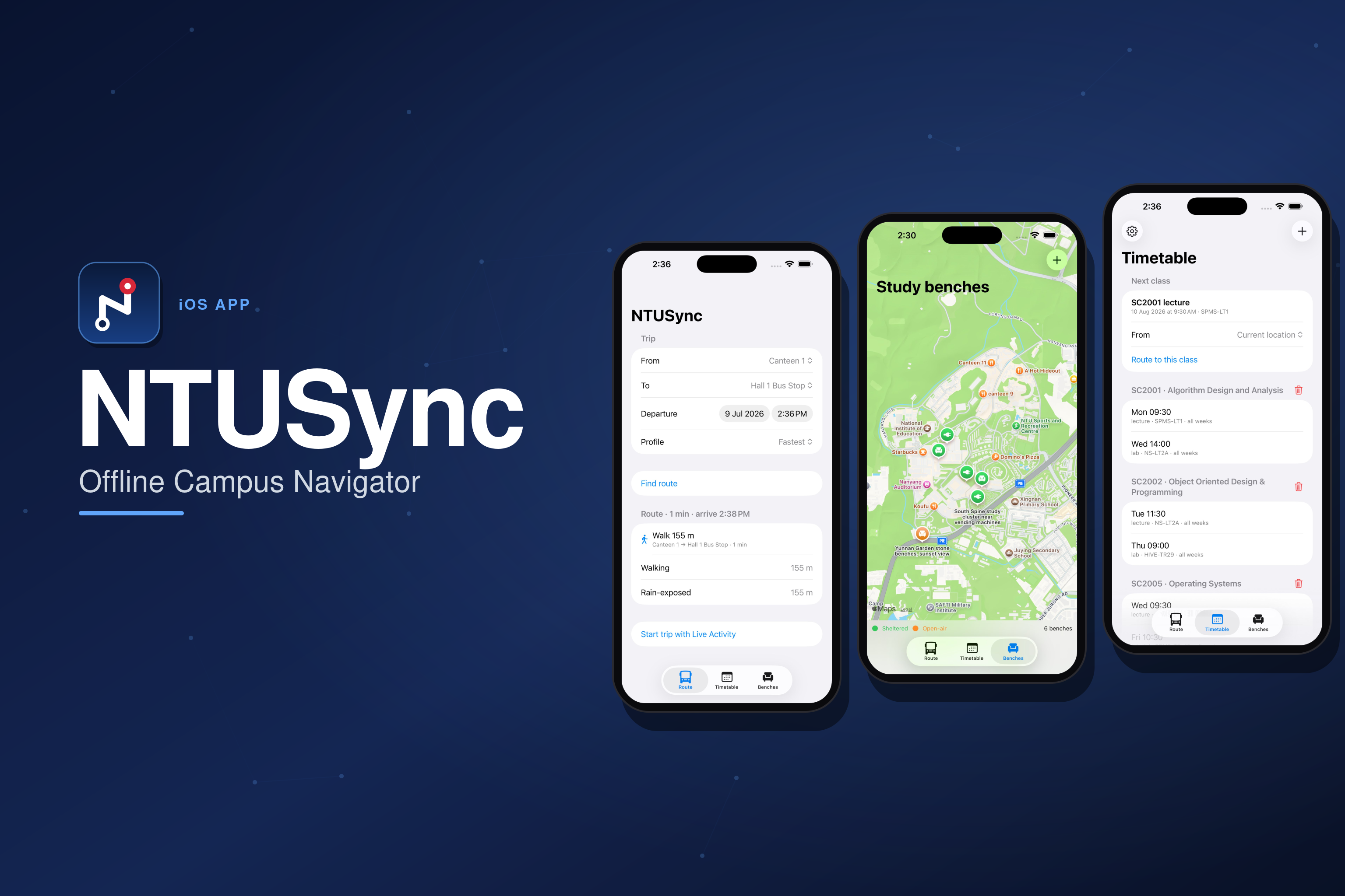
An offline campus transit optimizer and academic scheduler for NTU Singapore. All routing and schedule data lives on-device — the app makes zero network requests — with A* pathfinding, Live Activities, and monsoon-aware travel profiles.
Getting across a large campus between back-to-back classes is a routing problem the usual map apps handle badly — they don't know the sheltered walkways that matter in monsoon season, the link bridges, the shuttle headways, or which route is step-free. NTUSync models the NTU campus as a graph and solves it properly, entirely on-device: zero network requests, ever.
It pairs that with an academic scheduler that understands NTU's teaching-week structure, and Live Activities that put your active trip on the Lock Screen and Dynamic Island with a bus-boarding countdown.
Four travel profiles: Fastest, Rain-safe (weights sheltered walkways for monsoon season), Step-free, and Min-walk — all solved by A* over a hand-modelled graph of buildings, walkways, link bridges, stairs, and shuttle stops, with time-dependent Campus Loop shuttle costs.
The campus graph is an immutable value type bundled as JSON — never in the database — so the A* hot loop can't fault managed objects and the whole routing layer is thread-safe by construction. Search states are (node, shuttle line) pairs, so boarding waits and transfers between Loop Red and Blue are costed correctly.
The test suite doubles as the data contract: graph integrity (edge lengths vs haversine, foot-network connectivity, timetable coverage), an A* ≡ Dijkstra equivalence property test, autopilot transition rules, the ActivityKit push budget, and crash-recovery snapshot rebinding. The generated campus graph derives its edge lengths from coordinates so those validation tests stay green.